
InfoSAWIT, JAKARTA – As the 2026 dry season raises the risk of forest and land fires, Indonesia’s palm oil industry is stepping up patrols, emergency preparedness and coordination with authorities in an effort to prevent small fires from developing into a wider haze crisis.
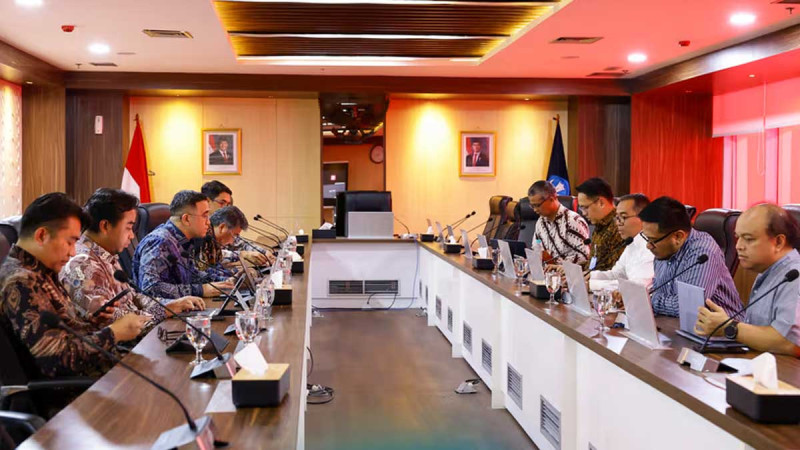
The Indonesian Palm Oil Association (GAPKI) has urged its member companies to reinforce preventive measures, maintain active firefighting teams and strengthen cooperation with government agencies, security forces and surrounding communities.
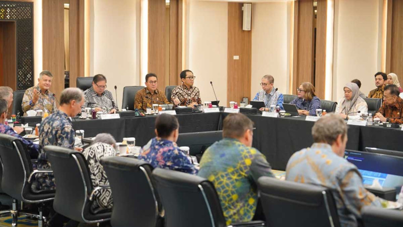
According to GAPKI, forest and land fire prevention cannot be handled by a single institution or sector. Effective control requires coordinated action involving businesses, government agencies, law enforcement, local communities and other stakeholders.
GAPKI Chairman Eddy Martono said the stronger coordination reflects a shared responsibility to protect plantation areas and surrounding landscapes from fire risks.
As part of its preparedness measures, GAPKI issued Circular No. 088/GAPKI/III/2026 on March 13, 2026, calling on regional chapters and member companies to strengthen early fire prevention. The initiative was followed by Circular No. 280/GAPKI/VII/2026, dated July 30, which placed particular emphasis on preventing fires in peatland areas.
The association had also signed a memorandum of understanding with the Indonesian Forest Concession Holders Association (APHI) in October 2025 to support community development and forest and land fire control.
Firefighting Teams and Infrastructure Put on Alert
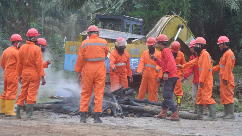
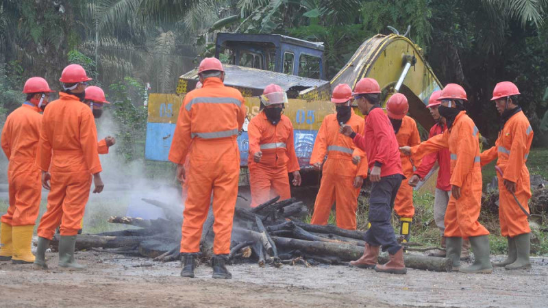
At the operational level, GAPKI member companies have been maintaining regular fire preparedness drills while keeping their emergency response and firefighting units active.
The preparedness effort is supported by firefighting infrastructure, including water pumps, reservoirs, fire watchtowers and other emergency equipment.
Coordination has also been strengthened with regional disaster management agencies, Manggala Agni, the Indonesian Military and the National Police to ensure that fire alerts can be followed up quickly and firefighting resources can be deployed when needed.
In Central Kalimantan, GAPKI has mobilised monitoring teams to support hotspot surveillance and fire response, particularly around Palangka Raya.
In South Kalimantan, member companies have placed firefighting teams on standby and joined ground task forces with other companies. GAPKI South Kalimantan has also distributed 20,000 masks to communities affected by haze.
Meanwhile, in Ketapang, West Kalimantan, palm oil companies have intensified public awareness campaigns, conducted preparedness exercises and carried out joint patrols with the military, police, district and village authorities, as well as local communities.
A Hotspot Is Not Automatically a Fire
Beyond operational preparedness, the debate over forest and land fires has also highlighted the need for greater care in interpreting satellite-based hotspot data.
Professor Yanto Santosa of IPB University said a hotspot represents a location where a satellite sensor detects an anomaly in temperature or thermal energy compared with its surroundings. It should not automatically be treated as confirmation of a fire on the ground.
He said proper interpretation requires consideration of data confidence levels, the type of sensor used, satellite overpass timing, cloud or smoke cover, and the possibility of heat sources unrelated to fires.
Field verification and supporting evidence are therefore essential, particularly when hotspot data are used to determine burned areas, identify the origin of a fire or establish responsibility.
According to Santosa, a hotspot located inside a concession boundary does not automatically prove that the concession holder caused the fire. Establishing causation requires further investigation into the fire’s point of origin, direction of spread, fuel conditions, activities in the area and other evidence.
Data from the Ministry of Forestry’s SiPongi forest and land fire monitoring system, cited by Santosa, showed that Indonesia recorded an estimated 107,465.47 hectares of forest and land fires between January and June 2026.
Around 54% of the affected area was located within forest zones, while the remaining 46% was in non-forest areas classified as Other Land Use Areas (APL), which include community land, plantations and other land uses.
The figures underscore the diverse landscape in which forest and land fires occur, Santosa said, cautioning against drawing conclusions about the responsibility of any particular sector based solely on raw hotspot counts.
A comprehensive assessment, he added, should take into account concession size, observation periods, sensor characteristics, data confidence levels, possible duplicate detections and the number of incidents verified directly in the field.
Weather and Peat Conditions Add to Fire Risks
Human activity is not the only factor shaping fire risks. Dry weather and the biophysical condition of the land can also determine how easily fires start and spread.
As vegetation becomes drier, the moisture content of combustible material declines, allowing fires to ignite and expand more easily. The risk can become particularly severe in drained peatlands, where falling water tables leave organic layers increasingly vulnerable to fire.
In some cases, peat fires can spread below the surface, making them more difficult to detect and extinguish.
GAPKI said stronger data analysis, field verification and cross-sector coordination are essential to ensuring that fire prevention and law enforcement efforts are directed accurately.
As Indonesia moves deeper into the 2026 dry season, the industry is calling for earlier coordination and stronger preparedness to contain fires before they develop into a broader environmental and public health crisis. (T2)
Source: InfoSAWIT