InfoSAWIT, SANGATTA – The East Kutai Regency Government in East Kalimantan is preparing to strengthen governance in the palm oil plantation sector through a geospatial land mapping program scheduled for implementation in 2026.
The initiative is aimed at improving plantation data accuracy while reducing agrarian conflicts caused by overlapping land claims and unclear territorial boundaries.
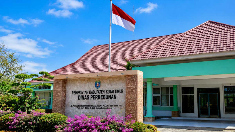
Head of East Kutai Plantation Agency, Arief Nur Wahyuni, said land boundary disputes have long remained one of the main challenges in managing palm oil plantations in the region.
“One of the main issues in the plantation sector has been overlapping land claims and unclear territorial boundaries. Therefore, this year we are beginning geospatial mapping efforts to improve plantation data accuracy and provide a stronger basis for policymaking,” Arief said in a statement cited by InfoSAWIT from the East Kutai Regency Government on Sunday (May 17, 2026).
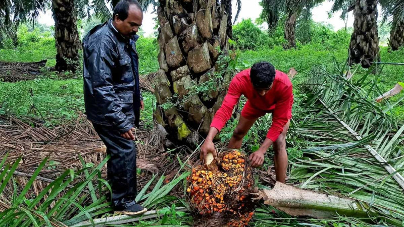
The geospatial mapping program will utilize coordinate-based digital technology to generate more precise land location data. Through the system, local authorities will be able to map actual field conditions, including Smallholders plantations, corporate concession areas, and land parcels that may potentially trigger administrative or social disputes.
According to Arief, clear and accurate land data is essential to building a healthy, transparent, and equitable plantation governance system.
“With clearer land data, government programs can be delivered more accurately. Farmers will also find it easier to obtain legal certification and access plantation assistance programs,” he explained.
In addition to supporting land legality, the mapping initiative is expected to provide more accurate figures regarding the total plantation area in East Kutai. The data is considered important for regional development planning and for calculating local revenue potential from the plantation sector, which remains one of the region’s key economic drivers.
The local administration believes integrated data systems will also simplify plantation governance supervision, support palm oil industry policymaking, and strengthen strategic programs such as the Smallholders Palm Oil Replanting Program (PSR), productivity improvements, and sustainable plantation practices.
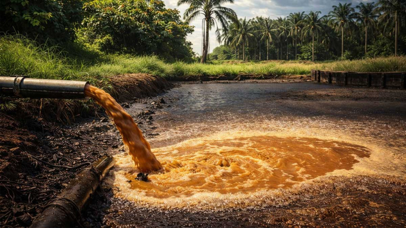
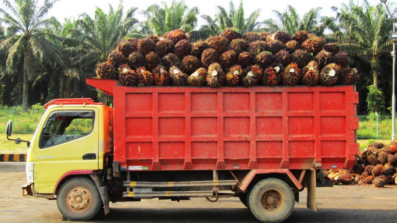
East Kutai is widely recognized as one of East Kalimantan’s largest palm oil producing regions, supported by 39 palm oil mills operating across several districts.
Through the program, the East Kutai Plantation Agency plans to involve village administrations, district authorities, plantation companies, and related technical institutions to ensure the mapping results accurately reflect on-the-ground conditions.
The collaborative approach is expected to create a more orderly and transparent plantation governance system while providing greater legal certainty for all stakeholders.
“We hope that through this mapping initiative, plantation management in East Kutai will become more orderly, productive, and capable of providing certainty for all parties involved,” Arief concluded. (T2)