

InfoSAWIT, PEKANBARU – The government continues to accelerate the transformation of the palm oil plantation sector. One of the initiatives is the technology-based palm oil mapping training organized by the Palm Oil Plantation Fund Management Agency (BPDP) and the Directorate General of Plantations (Ditjenbun) of the Ministry of Agriculture of the Republic of Indonesia, in collaboration with IPB Training.
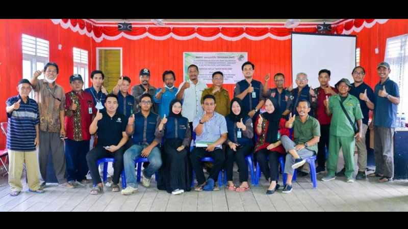
Over four days, from June 12 to 15, 2025, 104 farmers from various districts in Riau, such as Kuantan Singingi, Bengkalis, Rokan Hilir, and Rokan Hulu, participated in the training at The Hotel Bono, Pekanbaru. This activity is part of the 2025 Palm Oil Human Resource Development Program, Batch 1 to 3.
The training is designed to equip participants with knowledge and skills for independent land mapping of palm oil plantations using modern technology. Topics taught include an introduction to mapping tools, field tracking techniques, spatial data processing, and digital map creation. With these skills, farmers are expected to not only be producers but also managers capable of planning their plantations precisely and sustainably.
Syahrial Abdi, Head of the Riau Plantation Office, considers this training a strategic step in addressing the challenges of palm oil plantations in Riau. “Access to mapping knowledge has been limited, but through this program, the government is providing real solutions for farmers and local officials,” he stated in an official statement received by InfoSAWIT on June 16, 2025. He also conveyed appreciation from Riau Governor Abdul Wahid, who views this training as a form of strengthening human resources that directly impacts the community.
Meanwhile, Prof. Baba Barus from IPB Training, who served as a resource person, emphasized that the ability to read and create maps is a crucial foundation for planning and decision-making. “This training introduces three mapping methods: using smartphones, GPS, and drones. All are designed to be easily accessible and applicable by farmers,” he explained.
The training did not only take place in the classroom. Field practice was an essential part of the learning process. At the Sei Galuh plantation owned by PTPN IV Regional III, participants were divided into small groups and equipped with tools such as GPS, Avenza Maps applications, and Open Camera. They were tasked with tracing plantation routes, recording coordinates, and documenting important points with photos integrated with locations.
Participants also recorded waypoints for 15 oil palm trees in the practice area as an initial simulation in forming a plantation database. The activity became even more engaging with a drone demonstration. Two types of drone usage were introduced—for mapping and visual documentation. Participants were given the opportunity to try it out under the guidance of experienced trainers, and enthusiasm peaked as the drones took to the skies.
All data from the field practice was then processed to create plantation maps and digital polygons the following day. The results of this training not only provide technical understanding but also pave the way for the establishment of a database for smallholder plantations in the future.
With this training, palm oil farmers in Riau are now entering a new chapter: transitioning from traditional managers to utilizing technology for efficient, legal, and sustainable plantation management. (T2)