
InfoSAWIT, PALEMBANG — In support of sustainable palm oil plantation governance, IPB Training organized a Technical Training on Palm Plantation Mapping in Palembang, South Sumatra, on May 20–23, 2025. The training aimed to improve the capacity of oil palm farmers and local officials in understanding land legality and the use of modern spatial technologies.
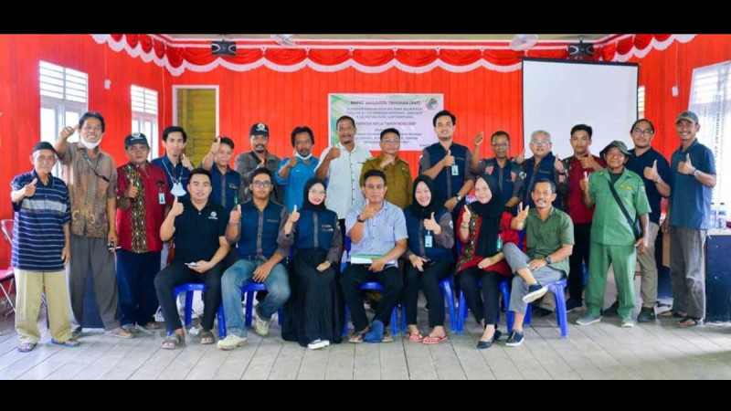
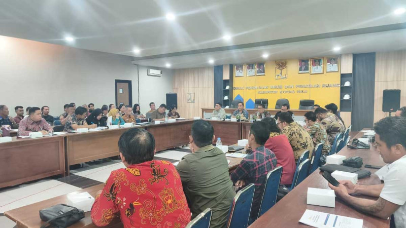
The event, held in collaboration with the Palm Oil Plantation Fund Management Agency (BPDP) and the Directorate General of Plantations at the Ministry of Agriculture, gathered 88 participants from three major palm-growing regencies in South Sumatra: Ogan Komering Ilir (OKI), Musi Rawas, and North Musi Rawas.
Agus Darwa, Head of South Sumatra Plantation Office, opened the event by emphasizing the importance of mapping as a foundation for securing land legality.
“There are companies whose lands were seized because they encroached on forest areas. If farmers don’t have maps, it’s hard to defend their rights. Legal certainty begins with coordinates,” Agus stated in an official release received by InfoSAWIT, Friday (23/5/2025).
He added that many farmers in the province still rely on basic land certificates without clear spatial boundaries, making them vulnerable to land conflicts and legal disputes. This training marks the first comprehensive program of its kind in the province.
“With this training, we hope farmers and village officials can master mapping techniques so their data can be legally recognized for PSR, ISPO, and other sustainable certification programs,” he added.
The training featured Prof. Baba Barus as the main speaker, who emphasized that spatial mapping is essential for certifications such as ISPO and RSPO, water management planning, and improving plantation productivity.
“A map is not just a document—it’s the foundation of transparent and sustainable plantation management,” said Prof. Baba. Farmers with detailed, coordinate-based maps are better positioned to access government support and tap into export markets.
Practical and Applicable Training
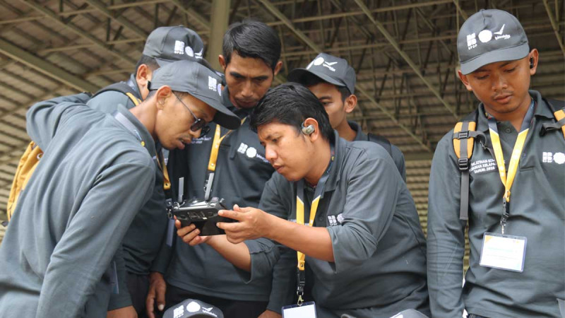
The three-day training was divided into sessions by regency, covering forest area mapping policies, GPS and drone operation, crop census techniques, spatial data processing, and hands-on fieldwork.
Participants practiced making plantation block maps, digital polygons, and structured reports to be used as legal data. Each session was led by experienced geospatial and participatory training instructors from IPB Training.
South Sumatra has been designated as one of the national priority provinces for palm training in 2025. Out of the national target, 2,500 participants in South Sumatra are expected to undergo various trainings, from cultivation to financial management.
“IPB Training remains committed to delivering high-quality programs. We hope this training results in a farmers’ plantation database that supports long-term agricultural development,” Agus Darwa concluded.
Through this initiative, South Sumatra reinforces its commitment to developing legal, productive, and sustainable palm oil governance in line with national policy directions. (T2)