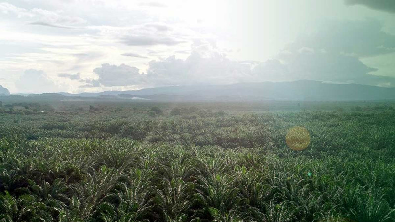
InfoSAWIT, JAKARTA – There was a time when the success of Indonesia’s palm oil industry was measured by straightforward figures: production tonnage, yield per hectare, and cost efficiency. The narrative was simple—and for years, it worked. But the world has changed. And that change is no longer coming from within the plantation, but from the map.
Regulations such as the European Union Deforestation Regulation and increasingly strict traceability requirements are gradually shifting the industry’s center of gravity. It is no longer just about how much palm oil is produced, but where it is grown, what the land status is, and whether all of it can be verified spatially.
The old question—about production—has not disappeared. But it is no longer sufficient.
Old Problems, New Face
Land conflicts, overlapping permits, and spatial inconsistencies are not new issues in the palm oil industry. They have long been treated as “background noise,” part of the dynamics on the ground. But in today’s global landscape, that noise has turned into a warning signal.
The impact no longer stops at plantation boundaries. It extends into global supply chains: products are rejected in export markets, compliance costs rise, and access to international financing gradually tightens.
In this context, spatial data is no longer supplementary—it is decisive. When coordinates are inconsistent or land legality is unclear, the risks are no longer merely administrative, but existential for the business itself.
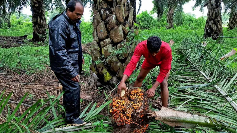
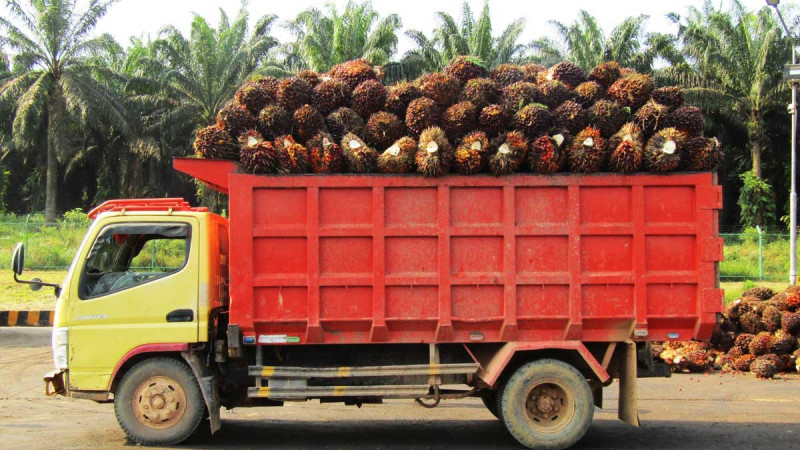
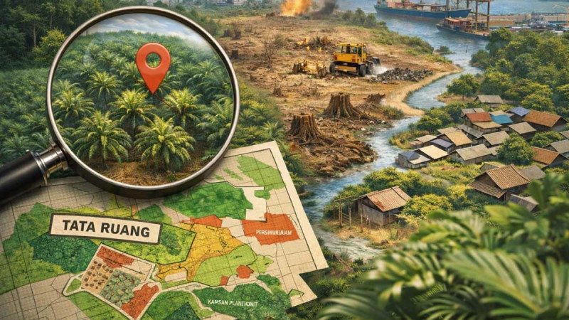
On the ground, these stories are real. There are plantations that have operated for years, suddenly becoming “problematic” because they fall within updated forestry maps. Some companies struggle to obtain sustainability certification because their land boundaries were never clearly agreed upon. Others face supply chain disruptions because the origin of fresh fruit bunches cannot be precisely traced.
All of this points to one thing: space that has never truly been certain.
Conflicts with local communities often stem from the same issue—unclear boundaries, limited engagement, and planning that is decided more on paper than in the field.
What was once considered a technical issue has now become a strategic risk.
The global palm oil industry appears to be entering a new phase. Where success was once defined by productivity, efficiency, and scale, it is now measured with additional dimensions: land legality, spatial compliance, and geospatial traceability.
In other words, the industry is no longer speaking only in tons—but also in coordinates.
This shift may seem subtle, but its implications are profound. It is reshaping how companies make decisions, plan expansion, and build relationships with markets.
Spatial Planning: From Administration to Strategy
There has long been a tendency to treat spatial planning as an administrative requirement—something to comply with, rather than to utilize. Yet under current global pressures, spatial planning has become a strategic instrument.
Without proper spatial planning, plantations may stand on risks: social conflict, logistical inefficiencies, and complex licensing issues. Conversely, with the right approach, many of these problems can be prevented even before planting begins.
This is where technologies such as Geographic Information Systems (GIS) play a crucial role. They are not merely mapping tools, but bridges connecting data, decision-making, and sustainability.
With GIS, land can be verified, supply chains can be traced, and compliance with global standards becomes more measurable. It is not an instant solution, but an increasingly indispensable foundation.
Risks No Longer Hidden
This transformation brings consequences that cannot be ignored. Plantations that do not align with spatial plans risk becoming stranded assets—physically present but economically constrained. Compliance costs are rising, driven by increasingly complex audits and verification processes.
At the same time, transparency demands leave little room for ambiguity. Reputation is now built on data—and that data must be verifiable.
In such an ecosystem, a single coordinate error can mean losing an entire market.
This shift also touches on a more fundamental aspect: people. The palm oil industry has long been built on technical strengths—agronomy, operations, and production efficiency. These remain important, but they are no longer enough.
Going forward, new capabilities are required: the ability to read maps, understand spatial planning, and integrate data into decision-making. Not just plantation operators, but spatial planners.
This transformation is not only about skills, but also about mindset.
Time to Think Spatially
Ultimately, the future of Indonesia’s palm oil industry may no longer be determined by how fast it grows, but by how precisely it is positioned.
Companies that can ensure every hectare of land is legal, spatially compliant, and transparently traceable will stand stronger amid global pressures. Others, inevitably, will fall behind—not because they are unproductive, but because they are not visible on the map.
And at this point, the old question takes on a new form. No longer simply how to plant—but where planting should take place. (*)
Author: Idad S Haq / Lecturer in Palm Oil Processing Technology (ITSB) and GHG Emission Calculation Training Instructor.
Disclaimer: This article reflects the author’s personal views and is solely the author’s responsibility, with no affiliation to InfoSAWIT.